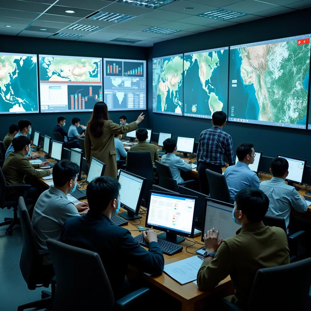
Chinese researchers have allegedly developed a new method for tracking US warships using commercially available satellite imagery, according to recent reports. This revelation has raised concerns among defense analysts and intelligence officials about the potential vulnerability of US naval movements to Chinese surveillance. The alleged technique reportedly utilizes artificial intelligence (AI) and machine learning algorithms to analyze publicly available satellite images, identifying and tracking the unique characteristics and patterns of US warships.
Analyzing Satellite Images for Military Intelligence
The use of satellite imagery for military intelligence gathering is not new. Countries around the world have long relied on satellites to monitor military activities, track troop movements, and assess potential threats. However, the alleged Chinese method represents a significant advancement in this field.
By leveraging AI and machine learning, Chinese researchers claim to have overcome some of the limitations of traditional satellite image analysis. Conventional methods often require significant human input and expertise to identify and interpret relevant information from vast amounts of data. AI-powered systems, on the other hand, can process and analyze images much faster and more efficiently, potentially providing near real-time intelligence.
 Chinese researchers analyzing satellite data
The Implications of AI-Powered Ship Tracking
The ability to track US warships using commercially available satellite imagery could have significant implications for naval warfare and global security. If the Chinese military can effectively monitor the movements of US warships, it could potentially:
- Anticipate US Naval Deployments: By tracking warship movements, Chinese forces could gain valuable insights into US intentions and potential areas of operation.
- Develop Countermeasures: Understanding the patterns and capabilities of US warships could enable the development of more effective countermeasures and strategies.
- Enhance Targeting Capabilities: Real-time tracking information could potentially be used to enhance the targeting accuracy of Chinese anti-ship missiles.
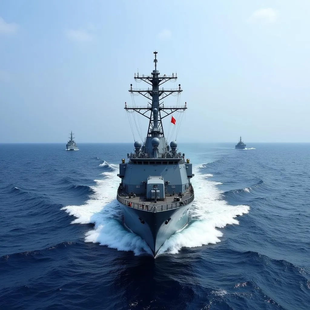
 A Chinese warship patrolling the South China Sea
Concerns and Countermeasures
The alleged Chinese capability has raised concerns among US defense officials and prompted calls for countermeasures. Some experts suggest that the US Navy could explore:
- Camouflage and Deception Tactics: Implementing techniques to disguise or mask the visual signatures of US warships in satellite imagery.
- Cybersecurity Measures: Enhancing the security of satellite systems and data to prevent unauthorized access and exploitation.
- International Cooperation: Working with allies and partners to monitor and counter potential threats posed by AI-powered surveillance.
Conclusion
The alleged Chinese method of tracking US warships using satellite imagery highlights the growing role of AI and machine learning in modern warfare. As technology continues to advance, it is crucial for militaries around the world to adapt and develop countermeasures to maintain their operational security and strategic advantage. This development underscores the importance of ongoing research and development in areas such as AI, cybersecurity, and counter-surveillance technologies.