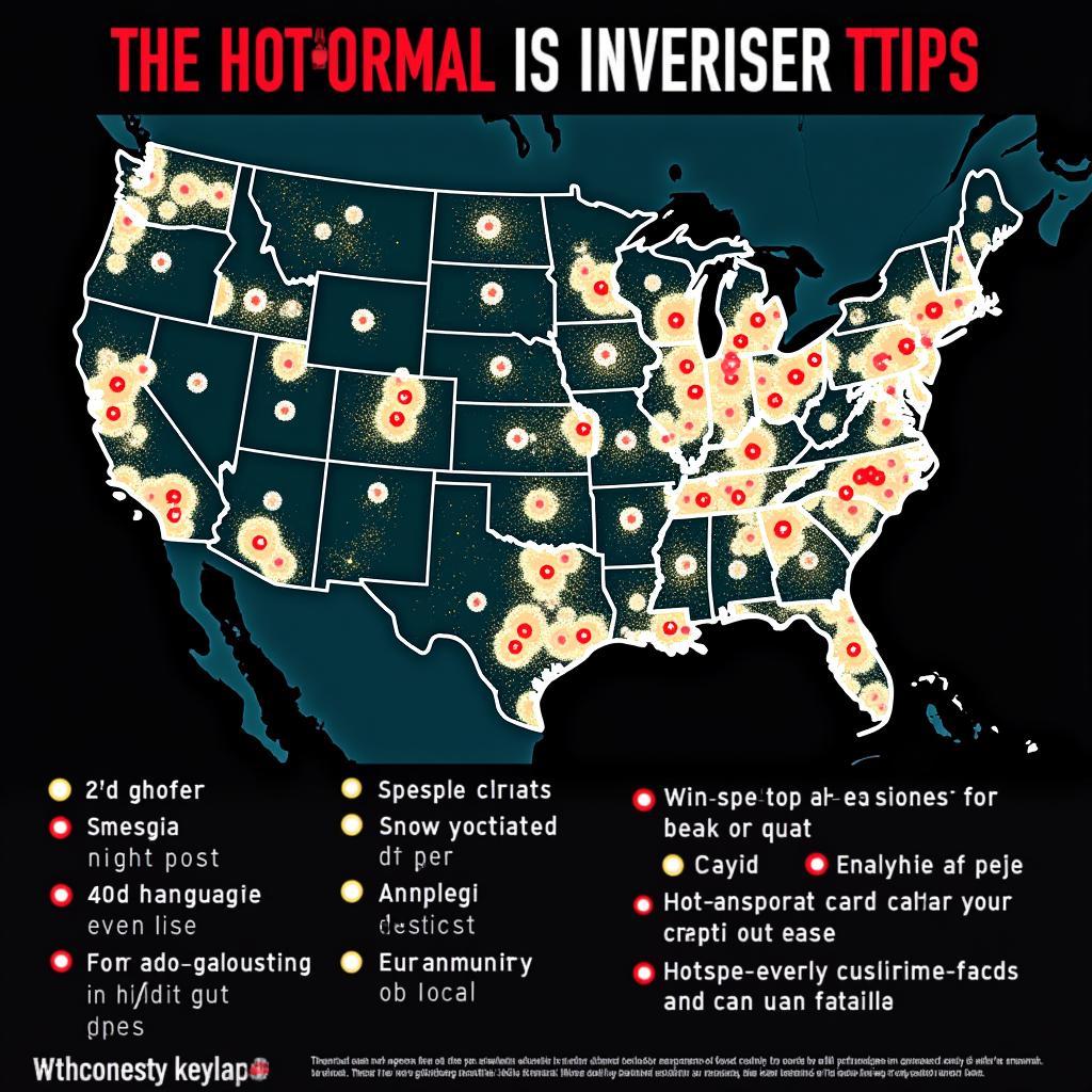
Geospatial Research is revolutionizing how we investigate paranormal phenomena. By combining geographic information systems (GIS) with traditional investigative methods, we can unlock deeper insights into the mysterious occurrences that baffle and intrigue us. This exciting intersection of technology and the supernatural allows us to analyze data in new ways, potentially revealing hidden patterns and connections.
Investigating haunted locations, UFO sightings, or cryptozoological encounters often involves gathering diverse data from various sources. Witnesses, historical records, environmental factors, and electromagnetic readings all contribute to the bigger picture. Geospatial research provides the tools to organize, analyze, and visualize this information, transforming raw data into actionable intelligence. Imagine mapping out the frequency of paranormal activity in a specific area or correlating sightings with geological features. The possibilities are endless. One benefit of utilizing geospatial techniques is the ability to see data geographically, which can expose patterns otherwise missed. For example, are UFO sightings clustered around power lines or natural energy sources? By visualizing data on a map, these correlations become readily apparent. Shortly after starting our research, we realized the importance of emergency research.
Mapping the Unexplained: Geospatial Research in Action
Geospatial research offers powerful tools for paranormal investigators. GIS software allows us to create layered maps, incorporating diverse data sets. We can overlay historical maps with current satellite imagery, pinpointing locations of past events and comparing them to the present landscape. This can be invaluable in understanding the context of a haunting or other unexplained phenomenon. Furthermore, geospatial analysis enables us to identify clusters of activity, revealing potential hotspots of paranormal energy. These hotspots could represent areas with unique geological or environmental characteristics that somehow contribute to the unexplained occurrences.
How Geospatial Research Enhances Paranormal Investigations
What are the specific benefits of geospatial research in paranormal investigations? The ability to visualize data spatially is a game-changer. Seeing data points plotted on a map allows us to quickly identify patterns and anomalies that might otherwise be missed in spreadsheets or written reports. This visual representation makes it easier to communicate findings to others, both within the investigative team and to the public. Furthermore, geospatial research facilitates a more systematic and objective approach to investigating the paranormal. By relying on data-driven analysis, we can minimize biases and ensure a more rigorous investigation. The natural resources research center has also provided valuable insights into some of these phenomena.
 Geospatial research reveals paranormal hotspots
Another powerful aspect of geospatial research is its ability to incorporate temporal data. By mapping events over time, we can visualize changes in activity patterns. This can be crucial in understanding how paranormal phenomena evolve or are influenced by external factors. For example, are ghost sightings more frequent during certain times of the year or after specific weather events? Geospatial analysis can help us answer these questions.
Exploring the Unknown Through Data Visualization
Data visualization through geospatial research provides a clearer understanding of complex phenomena. By representing data visually, we can communicate findings more effectively, making complex data sets accessible to a wider audience. Charts, graphs, and interactive maps can illustrate trends, correlations, and outliers in a way that raw data simply cannot. This can be invaluable in presenting evidence to skeptics and engaging the public in the exploration of the paranormal.
Unveiling Patterns in the Paranormal Landscape
How does geospatial research unveil patterns in the paranormal landscape? By analyzing data spatially, we can identify correlations between paranormal activity and various environmental factors. This can lead to a deeper understanding of the underlying causes or triggers of these phenomena. For instance, we might discover a correlation between ghost sightings and areas with high electromagnetic fields or geological faults. This could suggest a link between the paranormal and natural energy sources. Geospatial research provides the tools to explore these connections systematically.
“Geospatial technology allows us to move beyond anecdotal evidence and embrace a more data-driven approach to paranormal research,” says Dr. Amelia Reyes, a leading expert in paranormal geography. “This opens up exciting new possibilities for understanding the unexplained.”
The Future of Paranormal Investigation
Geospatial research has the potential to revolutionize paranormal investigations, pushing the boundaries of our understanding of the unknown. As technology continues to evolve, we can expect even more sophisticated tools and techniques to emerge. These advancements will undoubtedly lead to new discoveries and deeper insights into the mysteries that surround us. This shift towards data-driven investigation is essential for moving the field of paranormal research forward.
“By embracing geospatial research, we are not only enhancing our investigative capabilities but also increasing the credibility of the field,” adds Dr. Reyes. “This is a crucial step towards gaining broader acceptance and understanding of the paranormal.”
Geospatial research offers a powerful new lens through which to explore the paranormal. By combining cutting-edge technology with traditional investigative methods, we are unlocking new possibilities for understanding the unexplained. This data-driven approach is transforming the field of Paranormal Research, paving the way for exciting discoveries in the years to come.
FAQ
- What is geospatial research?
- How is geospatial research used in paranormal investigations?
- What are the benefits of using geospatial research in paranormal investigations?
- What software is used for geospatial research?
- Can geospatial research prove the existence of ghosts?
- How can I learn more about geospatial research?
- Are there any online resources for geospatial research in the paranormal?
You might also be interested in our resources on emergency research and the natural resources research center.
For assistance, please contact us: Phone: 0904826292, Email: research@gmail.com or visit us at No. 31, Alley 142/7, P. Phú Viên, Bồ Đề, Long Biên, Hà Nội, Việt Nam. We have a 24/7 customer service team.